New rules for drone flights in control zones from 6 August 2026
Deutsche Flugsicherung (DFS) is restructuring the procedures for UAS flights in control zones (CTR) as of 6 August 2026
The control zones of 15 German commercial airports are affected, including Frankfurt, Munich, Hamburg, Berlin Brandenburg, Dusseldorf and Stuttgart. The previous regulation will be revoked at that time.
Four zones instead of a uniform regulation
The core of the new regulation is a subdivision of each control zone into four areas:
- Zone 1 (CTR inner area): The area directly above the airport as well as a strip along the runways. Individual clearance is required here without exception, regardless of the planned flight altitude.
- Zone 2: A 4 km radius around the aerodrome reference point outside of Zone 1 – permissible altitude up to 25 m.
- Zone 3: A 6 km radius outside of Zones 1 and 2 – permissible altitude up to 45 m.
- Zone 4: The remaining area of the control zone – permissible altitude up to 100 m above aerodrome elevation or 50 m above ground level, whichever is higher.
In Zones 2 to 4, an automatic, general clearance will apply in future, provided the requirements of NfL 2026-1-3960 are met – an application is then no longer necessary. Additionally, flying in close proximity to obstacles is facilitated: if the drone remains continuously within 30 m laterally and 15 m above an obstacle, an automatic clearance also applies, regardless of its height.
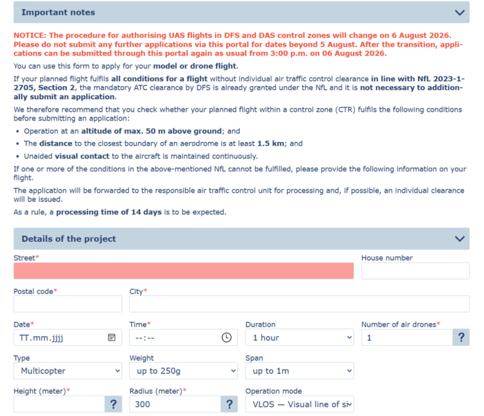
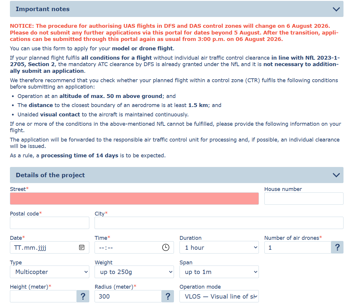
Anyone wishing to fly outside these specifications or operating in the inner area (Zone 1) must continue to apply for individual clearance from the DFS – via the online portal at ais.dfs.de. Processing usually takes 14 days.
Visibility, responsibility and the duty to give way
The new procedures generally allow for both flights within and beyond visual line of sight, as well as swarm flights. The remote pilot remains responsible for collision avoidance at all times and must give way to manned aircraft – traffic information from the aerodrome control tower is not provided. A minimum value of 800 metres for ground visibility will be mandatory in future.
The exact zone boundaries and aerodrome elevations can be viewed in the Aeronautical Information Publication (AIP) Germany and on the dipul.de platform; the DFS recommends using the MapTool provided there to determine terrain height.
The DFS accepts enquiries regarding the new procedures at futureairmobility@dfs.de.
Image source: ais.dfs.de